|
1.
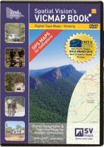
Digital Topo Maps - Victoria
Spatial Vision's Vicmap Book
Launched in March 2010, the second edition of the DVD benefits from a significant data upgrade undertaken by the CFA, Department of Sustainability & Environment and Spatial Vision. In addition, the topographic maps were field checked by the CFA.
The DVD provides GPS ready digital maps in the popular OziExplorer format that lets users plan their next holiday or adventure or to track their current location. The maps can be installed on an OziExplorer equipped PC or PDA and GPS to access the maps whilst touring regional Victoria. In addition, users can create their own maps, search for streets, localities and key tourism features.
The 2nd Edition data upgrade consisted of:
DSE: improved road information, especially in relation to road class and road seal
CFA: updated strategic water point data (water tanks, stand pipes, drafting locations)
Spatial Vision: updated and improved building and landmark information (sheds, halls, bridge names, radio towers, silos, etc |
|
|
2.
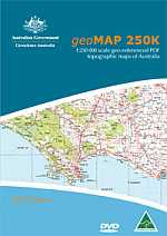
geoMAP 250K DVD-Rom
geoMAP 250K provides a modern digital approach to the delviery and use of maps. This new product has coverage of Australia at 1:250 000 scale in geo-referenced PDF on a single DVD-Rom.
The geo-referencing capability of geoMAP 250K facilitates co-ordinate readout, measurement of distance and area, the import of overlay files and GPS tracking. A set of 20 000 alphabetically arranged bookmarks allows the user to quickly find locations across Australia. Alternatively, common pan and zoom tools allow navigation to a specific area. The index map includes hyperlinks which load a map when the user clicks on the map name. Moving to an adjacent map sheet is easily done by clicking on an adjoining are of the map on display.
To use the geo-referencing capability of geoMAP 250K, additional software is required. This software is available for free download and links are included with the product. |
|
|
3.
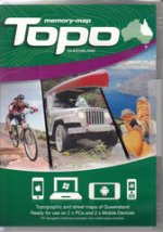
Queensland
Memory Map: This combo map pack comprises all the published 2010 SunMap line maps (25k topographical maps) together with 100k maps in the remote regions and a 250k scale topographical map covering all of Australia. Street maps are also included |
|
|
4.
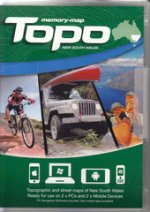
New South Wales
Memory Map: This combo pack includes a comprehensive selection of Topographic maps covering all of NSW at 100k, 50k and 25k together with Street maps and high definition 3D visualisations. The detail includes walking and 4x4 tracks, fire trails and locked gates. |
|
|
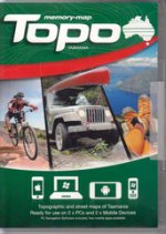
5.
Tasmania
Memory Map: This combo pack includes a comprehensive selection of Topographic maps covering all of Tasmania at 100k and 25k together with Street maps and high definition 3D visualisations. The detail includes walking and 4x4 tracks, and locked gates and more |
|
|
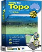
6.
Victoria
Memory Map: This combo pack includes a comprehensive Topographic map covering all of Victoria together with Street maps and high definition 3D visualisations. The detail includes walking and 4x4 tracks, fire trails and locked gates |
|
|
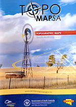
7.
Topomap SA
Garmin: Regional maps at 1:50,000, 1:100,000 and 1:250,000 scales depending on the area, supplied on an SD Card. Country town mapping at 1:20,000 scale. Adelaide Hills hillface zone at 1:25,000 scale. OziExplorer compatible. |
|
|
| |
Your Basket
0 items in basket
|
|

