 |
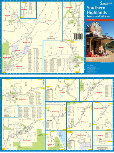
The Southern Highlands Towns & Villages Map is a supplement to the Southern Highlands Map.
Including detailed Street Maps of Aylmerton, Balaclava, Balmoral, Braemar, Bundanoon, Burrawang, Colo Vale, Exeter, Fitzroy Falls, Hill Top, Medway, New Berrima, Penrose, Robertson, Sutton Forest, Willow Vale, Wingello & Yerrinbool.
Street Map Scale 1:26,000 |
|
|
| |
Your Basket
0 items in basket
|
|


