Click on the Buy button. Add more products by clicking Continue Shopping button
To complete your purchase, click on CHECKOUT button.
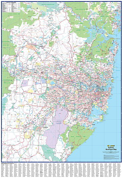
UBD; A Sydney Suburban map showing postcode numbers and boundaries. The map also shows Local Government Area boundaries and names as well as industrial areas. The metropolitan area is represented featuring main road and suburb names with a full suburb index included. This is a 150% enlargement of the UBD Sydney Business map. Size 1480 x 1980 mm