
|
1.
New South Wales & Sydney Postcode Map
Size 1110 x 788 mm
Cartodraft double sided unlaminated map of New South Wales and Sydney featuring Postcode Boundaries and Postcode Numbers clearly marked.
Includes a comprehensive and easy to read index of town names and their postcodes. |
|
|
2.
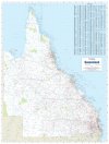
Queensland & Brisbane Postcode Map
Size 788 x 1036 mm
Cartodraft double sided unlaminated map of Queensland and Brisbane featuring Postcode Boundaries and Postcode Numbers clearly marked.
Includes a comprehensive and easy to read index of town names and their postcodes. |
|

|
3.
Victoria & Melbourne Postcode Map
Size 1036 x 788 mm
Cartodraft double sided unlaminated map of Victoria and Melbourne featuring Postcode Boundaries and Postcode Numbers clearly marked.
Includes a comprehensive and easy to read index of town names and their postcodes. |
|
|
4.
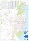
Sydney & New South Wales Postcode Map
Size1110 x 788 mm
Cartodraft double sided unlaminated map of Sydney and New South Wales featuring Postcode Boundaries and Postcode Numbers clearly marked.
Includes a comprehensive and easy to read index of town names and their postcodes. |
|
|
5.
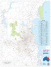
Brisbane & Queensland Postcode Map
Size 788 x 1036 mm
Cartodraft double sided unlaminated map of Queensland and Brisbane featuring Postcode Boundaries and Postcode Numbers clearly marked.
Includes a comprehensive and easy to read index of town names and their postcodes. |
|
|
6.
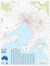
Melbourne & Victoria Postcode Map
Size 1036 x 788 mm
Cartodraft double sided unlaminated map of Victoria and Melbourne featuring Postcode Boundaries and Postcode Numbers clearly marked.
Includes a comprehensive and easy to read index of town names and their postcodes. |
|
|
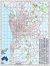
7.
Adelaide Postcode Map
Size 788 x 1036 mm
Cartodraft Map of Adelaide featuring Postcode Boundaries and Postcode Numbers clearly marked unlaminated. |
|
|
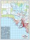
8.
South Australia Postcode Map
Size 788 x 1036 mm
Cartodraft Map of South Australia featuring Postcode Boundaries and Postcode Numbers clearly marked (unlaminated).
Includes a comprehensive and easy to read index of town names and their postcodes. |
|
|
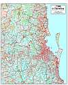
9.
South East Queensland Postcode Map
Size 788 x 956 mm
Cartodraft Map of South East Queensland featuring Postcode Boundaries and Postcode Numbers clearly marked (unlaminated). |
|
|
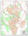
10.
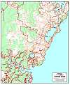
Canberra Postcode Map
Size 788 x 979 mm
Cartodraft Map of Canberra featuring Postcode Boundaries and Postcode Numbers clearly marked (unlaminated). |
|
|
11.
Central Coast Postcode Map
Size 788 x 956 mm
Cartodraft Map of Central Coast featuring Postcode Boundaries and Postcode Numbers clearly marked (unlaminated). |
|

|
12.
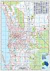
Newcastle Postcode Map
Size 722 x 1120 mm
Cartodraft Map of Newcastle featuring Postcode Boundaries and Postcode Numbers clearly marked (unlaminated). |
|
|
13.
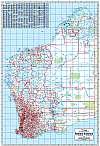
Perth Postcode Map
Size 788 x 1120 mm
Cartodraft Map of Perth featuring Postcode Boundaries and Postcode Numbers clearly marked (unlaminated). |
|
|
14.
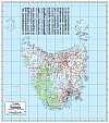
Western Australia Postcode Map
Size 788 x 1120 mm
Cartodraft Map of Western Australia featuring Postcode Boundaries and Postcode Numbers clearly marked (unlaminated).
Includes a comprehensive and easy to read index of town names and their postcodes. |
|
|
15.
Tasmania Postcode Map
Size 788 x 935 mm
Cartodraft Map of Tasmania featuring Postcode Boundaries and Postcode Numbers clearly marked (unlaminated). |
|
|
16.
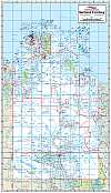
Northern Territory
Size 600 x 1036 mm
Cartodraft Map of Northrn Territory featuring Postcode Boundaries and Postcode Numbers clearly marked (unlaminated). |
|

