ONLINE SHOPPING
Browse online shop
Delivery and Order Information
CRAIGIES MAPS
WALL MAPS
EDUCATIONAL WALL MAPS
POSTCODE MAPS
CUSTOM MAPPING
MAP ENLARGEMENTS
WEBSITE MAPPING
LAMINATING SERVICE
PRINTING SERVICE
DIGITAL MAPS
GPS
GROOVY MAPS
SATELLITE MAPS AND POSTERS
TOPOGRAPHIC MAPS
MAP AND PLAN MEASURING TOOLS
CARTOGRAPHY BOOKS
PROMOTIONAL PRODUCTS
CD AND DVD PRODUCTS
INTERNATIONAL MAPS
STREET DIRECTORIES
ATLASES AND GUIDES
TOURING MAPS
WORLD MAPS
AUSTRALIAN MAPS
FORESTRY MAPS
NATIONAL PARK MAPS
4WD MAPS & GUIDES
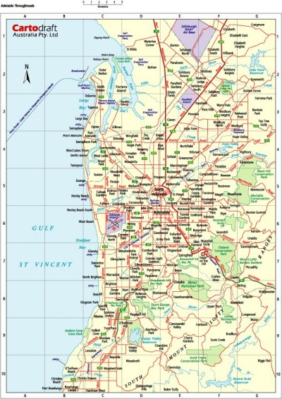
CITY MAPS
REGIONAL MAPS
STATE MAPS
NEW ZEALAND MAPS