 |
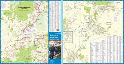
The Southern Highlands map extends from Picton in the North to Nowra in the South & Marulan in the West. This edition has extended its coverage to include the new developments in Renwick
Incuding detailed Street Maps of Alymerton, Balaclava, Balmoral, Braemar, Berrima, Bong Bong, Bowral, Burradoo, Colo Vale, Mittagong, Moss Vale, Renwick & Willow Vale.
District Map Scale 1: 140,000
Street Map Scale 1:26,000 |
|
|
| |
Your Basket
0 items in basket
|
|


